Find parcels and property lines
Search by address or owner in supported counties, then review the parcel’s owner, address, and acreage. Where published lines are unavailable, draw and save your own property boundary on the aerial map.
Hunting maps & field planning
Know your ground. Plan your hunt. Keep your map when the signal ends.
Currently available in Missouri only. Expanding to other states soon.
Visit EzMap (opens in a new tab)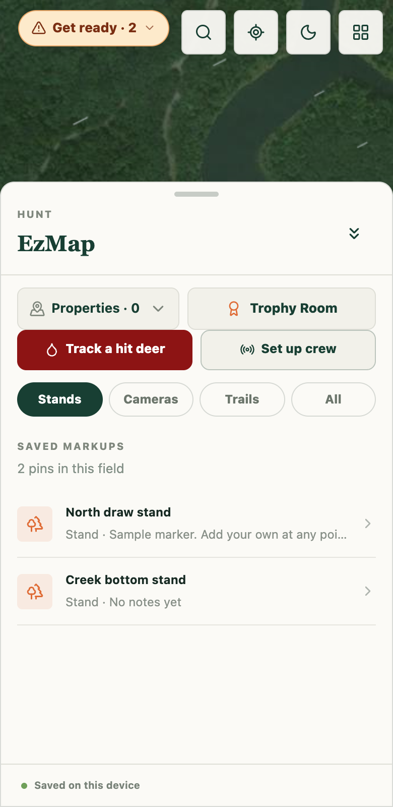
The problem
Property information, weather, stand locations, and notes from past hunts all shape a day in the field. Keeping them in separate places makes planning harder, especially when cell service drops.
What we built
EzMap brings scouting, hunt planning, and field records into a hunting app that installs from the browser on iPhone and Android.
Download a county before heading out. Its aerial imagery, streets, available parcel data, and saved stands stay on your phone for use without cell service.
Parcel lines and owner information vary by county. Check EzMap’s current coverage (opens in a new tab).
Find the property, weigh your stand options, record what happens, and keep the crew’s field information together.
Compare free and Pro features (opens in a new tab)Search by address or owner in supported counties, then review the parcel’s owner, address, and acreage. Where published lines are unavailable, draw and save your own property boundary on the aerial map.
Pro compares stands against wind direction and morning or evening thermals. Each recommendation explains its reasoning, so you can weigh the conditions and make your own call.
Record whether you saw deer after a sit. EzMap attaches the wind, temperature, and pressure to the log. Logging is free; Pro uses your stand history to inform future recommendations.
Pro’s Stand Finder identifies saddles and benches within your property to help focus scouting. Plan a walk-in route that accounts for scent, and keep stands, cameras, blinds, and trails marked on the map.
Recovery Mode provides a red-light view for recording a blood trail point by point. Save the trail to the map and use GPS tracks and measurement tools to keep your field observations organized.
Pro’s Crew Mode lets you share maps and coordinate with live crew pins on hunt day. Cloud backup and device sync keep saved information accessible, while a shared Trophy Room gives the group a place to record the season.
EzMap shows how maps, planning tools, and shared records can work together in one product. Tell us what your customers or crews need to get done.
Request a free consultation